For more information or to book your adventure, click here.
Showing posts with label Hill Walking. Show all posts

Tuesday, 16 February 2016

Hill Skills course - Day 2 on the Quantock Hills


Back out with the six volunteer rangers from the Quantock Hills and Mendip Hills AONB services today delivering day 2 of their 'Hill Skills' course for Wet and High Adventures. 

We headed to the Quantock Hills today for a full day practical session which started and finished from Triscombe on the western side of the hills.

Todays route covered 18km taking in Wills Neck (highest point on the Quantocks), the managed forests of Cockercombe and Ramscombe and the northern commons around Black Hill.

The weather continued with blue skies and great visibility but once again struggled to get above freezing. This gave us the opportunity to look at appropriate clothing and the benefits of layering, especially during the 'movement on steep ground' part of the day.

Over the course of the day we covered the rest of the hill skills syllabus and continued to work on the basic navigation techniques. 

The day finished with well earned refreshments in the Blue Ball pub in Triscombe.  

Monday, 15 February 2016

Hill Skills course- Day 1 on the Mendip Hills


Today I was working for Wet and High Adventures delivering Day 1 of the Mountain Training 'Hill Skills' course. The candidates are six volunteer rangers from the Quantock Hills and Mendip Hills AONB services who are training to lead walks as part of their role.

We chose to deliver day 1 on the Mendip Hills using Charterhouse Outdoor Centre as our base. The day was broken down into a six hour practical session on the hill followed by 2.5 hours in the classroom covering all of the theory.

The practical session covered basic navigation skills, affects of weather in the hills, the hill and moorland environment and walking pace management. This was delivered while taking in a 16km route over Black Down, around Rowberrow Warren and through Velvet Bottom. 

The classroom session consisted of; a weather lecture, appropriate clothing, footwear and equipment for hill walkers and the use of guidebooks and the internet for researching good days out on the hill.

Although the temperature struggled to get above freezing we were blessed with a beautiful blue sky day with views as far as the Gower and the snow capped Brecon Beacons. 

Thursday, 30 April 2015

Hills Skills - Day 2


Today I was back out on Dartmoor delivering the second day of the Mountain Training Hills Skills course for the FdSc public services students from Bridgwater College.

It was another stunning day on the moor with a few light rain flurries early on followed by sunny skies.

We covered the rest of the hills skills syllabus looking at navigation strategies, problem solving, independent leadership and relocation techniques. This was all covered while walking the route the students planned in the theory session. 

Our route took us on a loop from Whiteworks OEC via crock 'o'gold, nuns cross and fox tor mires.

Thursday, 23 April 2015

Hill Skills Day 1 on Dartmoor


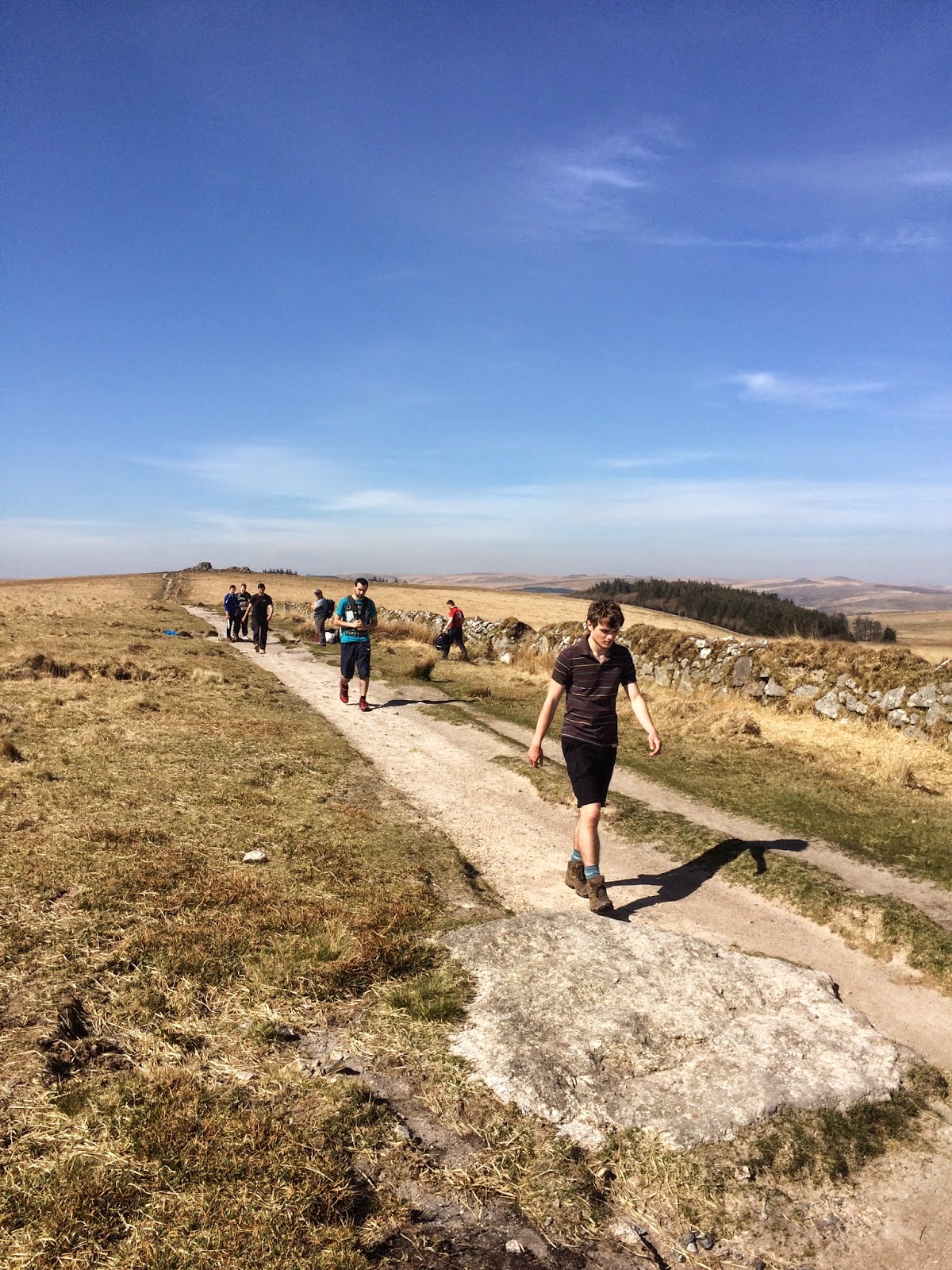
It was a stunning day on Dartmoor to be delivering the first day of a Mountain Training Hill Skills course for the FdSc students from Bridgwater College. I took 8 students and Gwilym the other 8 around the Cramber Tor area to work on various parts of the syllabus. 

During the day we covered:

Collecting and Catching Features
Hand-railing
Contour recognition
Aiming Off
Grid and Magnetic Bearings
Pacing and Timing
Measuring Distance
Equipment 
Moorland Environment

The day started overcast but quickly cleared to a blue sky day, great for teaching map to ground navigation but not ideal for teaching bearings. 


Thursday, 19 March 2015

Level 2 Public Services - Navigation Skills


Gail and I were out on the Quantock hills today with Level 2 Public Services students remotely supervising them walking a route to test their navigation skills.
 
The two groups were set an 8km loop starting from Dead Woman's Ditch. One going clockwise and the other anti-clockwise. All the students did really well and supported each other. Gail and I moved swiftly across the ground to spot check groups on route and also observe from a distance.

Friday, 6 March 2015

Remotely Supervising Public Services Students on the Quantock Hills


On Monday, Thursday and Friday of Last week I was back out on the Quantock Hills AONB with Gail and Dave from Bridgwater college. We were remotely supervising the Level 3 Public Services students during their last practical training session before their assessed expedition next month.
 
The students were tasked to walk a 12km route in small groups without the support of their tutors. We spot checked them at various points to assess their progress and question them on where they had been.
 
The weather was stunning for early March and we managed to get a couple of trail runs in as a way of moving quickly between the groups. Heading out cross country resulted in seeing a 20 strong heard of Red Deer in Slaughterhouse Combe.
 
Once we were happy with the students progress we found time to pop into the Combe House Hotel for a nice brew while waiting for the students to finish their routes.

Tuesday, 10 February 2015

More Navigation Training on the Quantock Hills


Back out in the beautiful Quantock Hills AONB today with the other half of the Level 3 Outdoor Adventure students from Bridgwater College.
 
No snow on the ground this week but the morning did start with heavy fog and a very chilly northerly wind. The route took in open moorland, wooded valleys and managed forest over the 12km distance.
 
We spent the day going through some basic navigation techniques: Collecting and Catching Features, relating map to ground, contour lines, timing, pacing and grid bearings. As a group we also discussed the environmental impact of outdoor activities on the area and looked at some of the flora including Lichen such as Devil's Matchsticks and Pixie Cups. 

A really good day with the students being challenged both individually and in pairs. We even found time to shelter from the wind in the natural undulating terrain.

Thursday, 4 December 2014

More navigation training with Bridgwater College PES students


Back out again today with Level 3 Public and Emergency Services students from Bridgwater College teaching navigation. The session was pretty much a replica of Mondays session but with a different tutor group.
 
It was a very fresh day with many of the students reviewing their clothing choices. Each student independently led a leg to show their basic navigation skills and the last 4km was set as a group challenge to get us back to college.
 
Not as much wildlife today, just a few swans and a couple of buzzards. Another productive day preparing the students for their assessed expedition next May.

Monday, 1 December 2014

Navigation Training with Bridgwater College PES


Today I was back at Bridgwater college after 3 days CPD. I was working with the Level 3 Public and Emergency Services students doing some navigation training as part of their ongoing training for their Expeditions module.

Our route took us out onto the edge of the Somerset Levels around Chedzoy and Stawell. We chose this area as it is possible to walk directly from the college without the need of a minibus. 

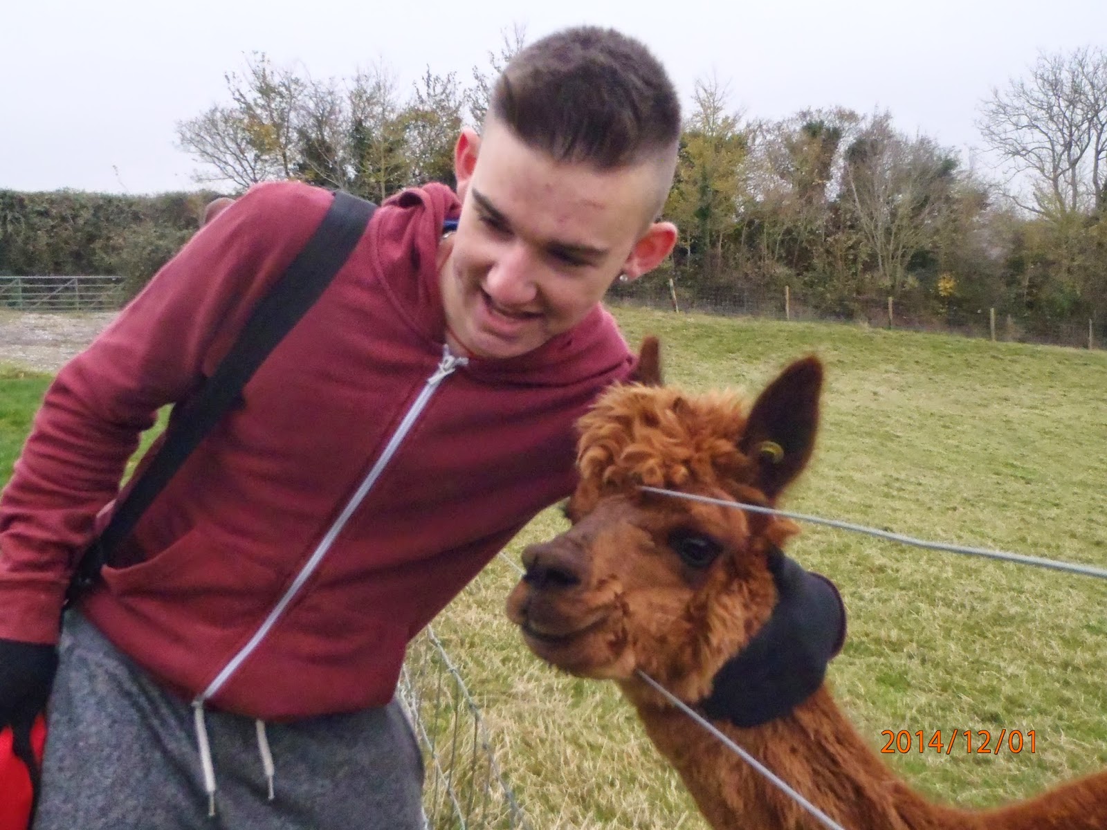
The main focus of the day was to continue with some basic navigation using map to ground and feature identification. As the day panned out we saw a variety of wildlife (Swans, Buzzards, Herons, Roe Deer, and the Alpacas pictured) and came across an interesting stile at the back of Chedzoy church.

The route covered around 14KM and allowed each student to leads legs on their own and track the route of their fellow students. 

Wednesday, 15 October 2014

Bridgwater College Residential - Day 3


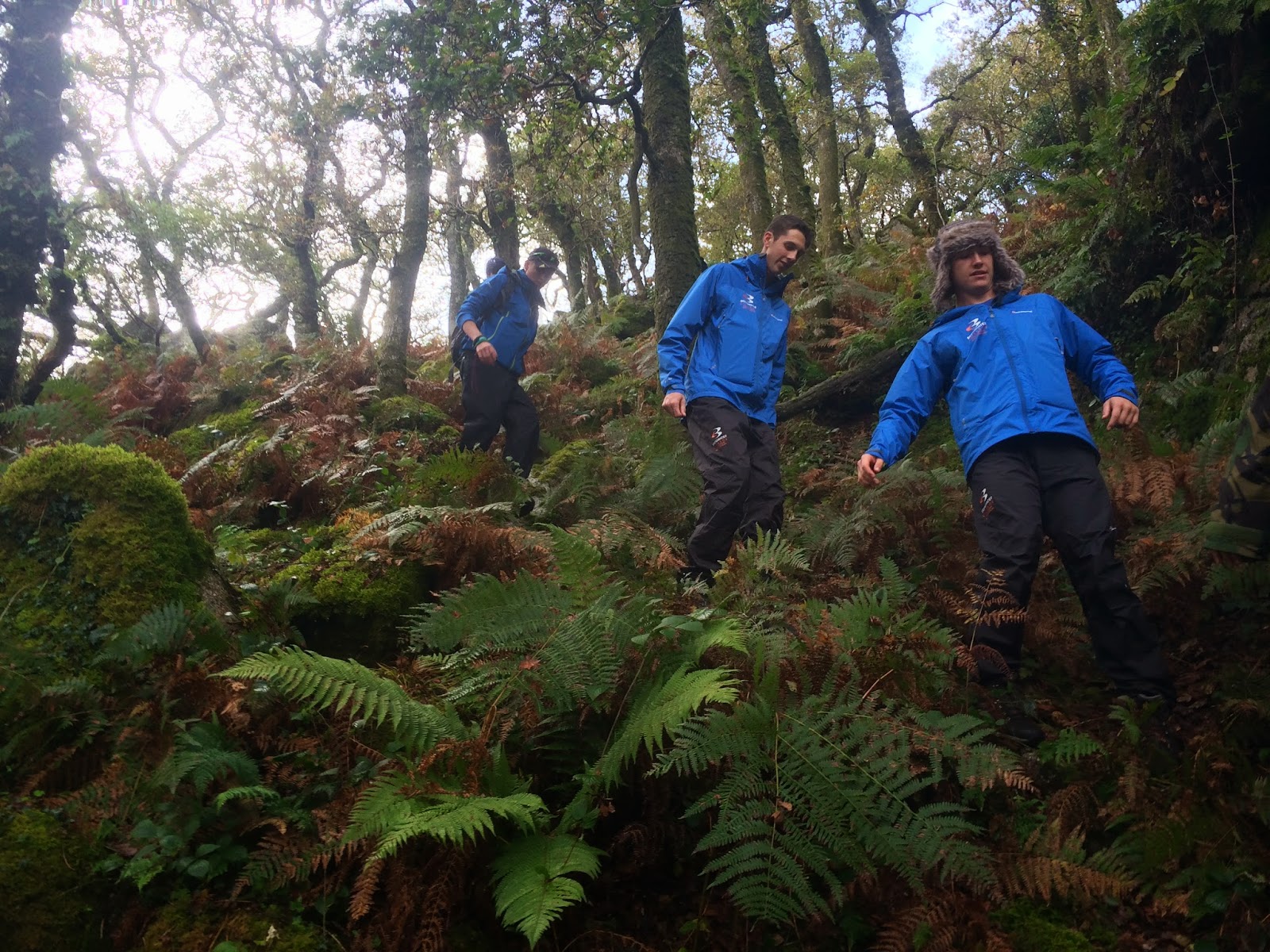
Due to the lack of forecast rain yesterday it meant the River Plym had dropped in height enough for the students to go Gorge/River Walking so we headed to the Dewerstone car park where Gwilym took half the group in the river while I took the rest for a half day session on Navigation. We swapped over activities at lunch.

The main aim of my session was to get to grips with the level of navigation skills the students had in preparation for their up coming Land based outdoor activities module. Both sessions we headed up through Dewerstone Wood to find some high ground on the moor on the way back down we found some steep ground to test their route selection and group supervision.

During the two hour session we looked at the following navigation techniques:
Orientating the map (using features and the compass)
Collecting and catching features
Grid Bearing to check correct direction of route choice
Pacing

Their were various levels of prior knowledge but all had an encouraging level of experience to work from.

The afternoons group were hit by some heavy showers which gave them a great opportunity to test their new college branded waterproofs supplied by Montane.

Saturday, 16 August 2014

A wander with Frank along Stanage Edge


Lou and I had a couple of days off at the end of this week so we decided to head up north and visit friends and family.

We travelled up on thursday night to Sheffield to see my cousin and then on friday while Lee (my cousin) was at work we offered to take Frank (his cocker spaniel) our for the day. We headed over to the eastern end of the Peak District National Park and went for a walk along stanage edge and the surrounding area. The sun was shining but at times the chilly north westerly intervened and made is second layer weather. Frank enjoyed his long walk and we enjoyed some nice views across the Peaks. The flowering Lyng (heather) covered the Peak District in a sea of purple, the photos dont give it justice.

The following day we travelled across to Manchester to visit Lou's friend for a cuppa before travelling back home to Somerset.